Gridraven Secures ESA Project to Advance Hyperlocal Wind Prediction with Satellite-Derived DEMs
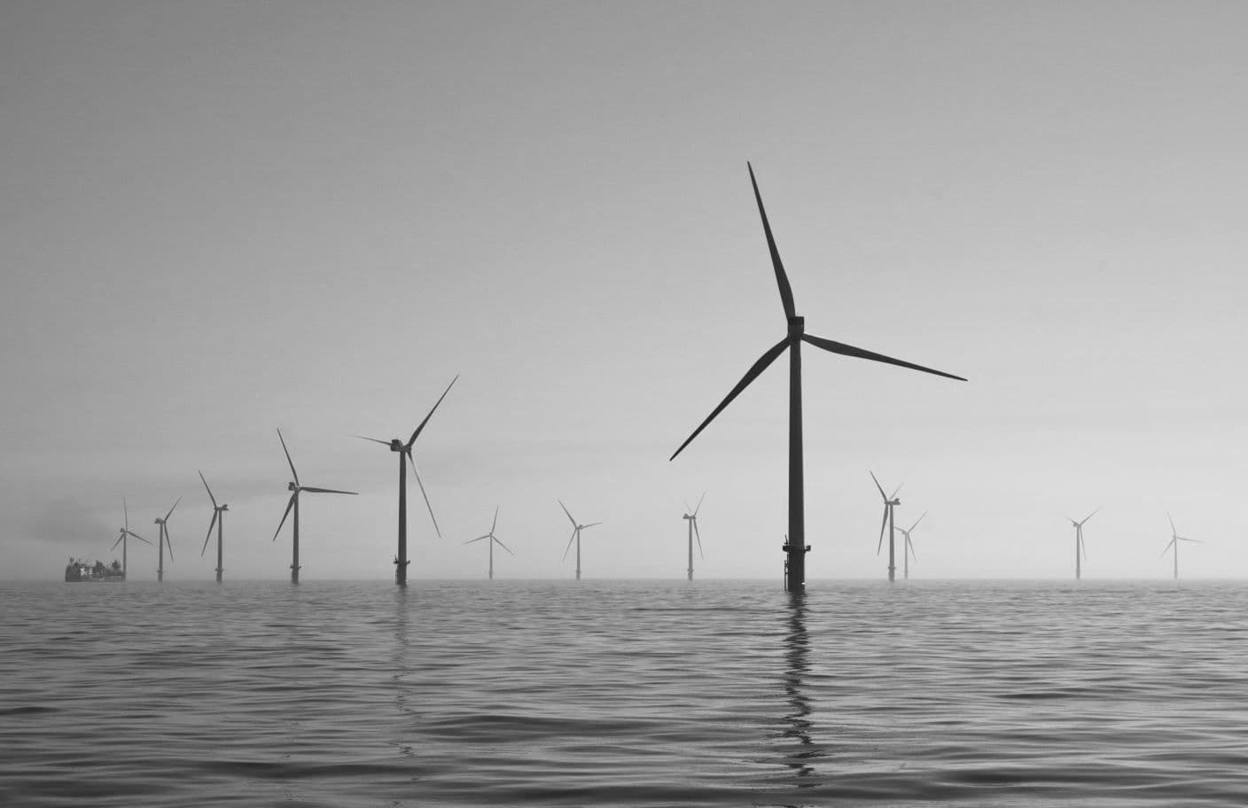
Gridraven has been awarded a prestigious project by the European Space Agency (ESA) to investigate the accuracy of machine learning-based wind prediction using satellite-derived Digital Elevation Models (DEMs). This innovative initiative, in collaboration with Terramonitor and the University of Tartu, aims to enhance Gridraven’s hyperlocal wind prediction capabilities, supporting more efficient grid management and renewable energy integration worldwide.
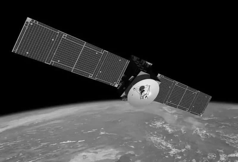
Terramonitor, a leader in satellite data solutions, will provide high-quality satellite-derived DEMs, while the University of Tartu contributes its expertise in remote sensing of canopies and forests. Together, the partners will validate the use of satellite DEMs in Gridraven’s wind prediction models, which currently rely on Airborne Laser Scanning (ALS) DEMs with proven success.
By leveraging satellite DEMs, this project seeks to enable high-accuracy wind predictions in regions lacking ALS DEM coverage, unlocking global scalability for Gridraven’s technology. The collaboration marks a significant step toward optimizing renewable energy systems and advancing sustainable grid operations on a global scale.